


Researchers claim nearly 1m homes could be built on 1.6% of UK’s total green belt
Up to 1.7m additional homes could be supplied using grey belt land and well-connected brownfield sites if adequate policies are put in place, according to new research.
LandTech and Stack Data combined spatial and sentiment data to come up with the estimates, alongside advice for the government on how it can deliver homes while keeping the public onside.
LandTech began by identifying urban land within 1km of existing train stations and then removed from consideration areas that were considered constrained due to a litany of protected characteristics.
Approximately 887,010 additional homes could be built on such land, if policies are introduced to encourage development focus on these sorts of areas.
The researchers then used a public opinion adjustment developed by Stack Data, which takes into account which areas are likely to be supportive of development, to reach a figure of 766,578.
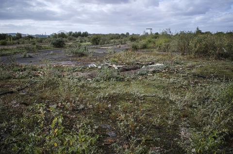
The pair also conducted an analysis of how many homes could be built on the country’s grey belt, based on the tests set out by the government.
It estimated that 972,704 homes could be built on grey belt sites taking up less than 1.6% of the country’s total green belt.
This assumes homes being built at 60 dwellings per hectare (dph), which they say reflects the typical density of urban fringe development. At 40dph, the figure drops to 648,469.
>> Read more: Support for local housebuilding drops 11% in year since Labour’s election
The result is an estimated capacity for between 1.4m and 1.7m new homes on brownfield and grey belt sites across the country.
However, it stressed that actually unlocking this level of development would require a more strategic and target approach to development
The report said that under the current plan-led system, the allocation of housing sites often resulted from a “reactive process dominated by developers or landowner site promotion” shaped by the availability of sites submitted during a ‘call for sites’.
“Instead of identifying the ‘best’ locations for new development, which can put residents in sustainable locations that are well serviced by amenities and social infrastructure, we often end up with the ‘least worst’ option of those that are put forward,” it said.
“This isn’t plan making; rather, it’s more about staging and prioritising the development and investment interests of peri-urban landowners.”
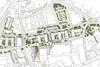
The report said there was a “clear need for a more systematic, evidence-based method for site identification”, and urged reforms to encourage development in more strategic locations, referencing the New South Wales government’s planning reform permitting increased density within 400m of 171 designated train stations and town centres.
For the UK, the report urged the increased use of local development orders to create development envelopes around urban train stations, as well as the increased use of design codes and reform of the committee systems.
Stack Data’s sentiment analysis also among anti-development audiences the most persuasive arguments for density was that it protects green spaces, rather than that it improves affordability. For pro-development groups, the reverse was true.


No comments yet